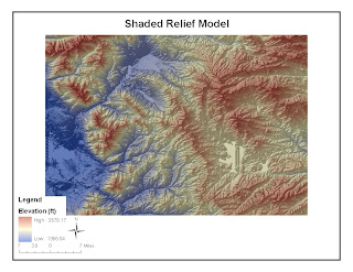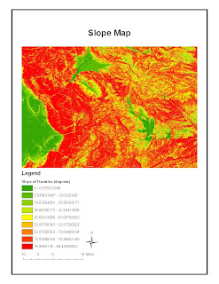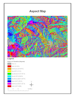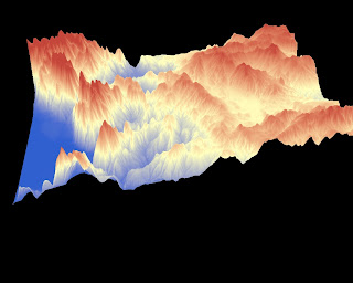


The area depicted above is the northeastern part of Utah that makes up part of the Rocky Mountains. I chose this region simply because it was visually appealing and it contained everything from peaks to flat areas. The area is defined by the following decimal degrees:
Top: 40.583
Left: -111.757
Right: -110.896
Bottom: 39.989
As seen in the shaded relief model, the elevation of this region falls between 1366 and 3578 feet. Most of the region depicted above is mountain terrain which is why the slope map shows a majority of steep slopes. Furthermore, the land faces in every direction, which makes sense for a region composed of mountain terrain. This is observed in the aspect map and the 3D image.
No comments:
Post a Comment